
Rolling Meadows Block Records
Public sources describe several parts of a block, but they do not form a household roster. CookViewer supplies parcel boundaries and district fields. The property and tax systems add assessed facts and a tax-bill mailing address. Election tools explain the ballot and polling geography tied to an address. Historical reverse directories can place a listed subscriber at a street number in a stated year. Each source answers a different question about Rolling Meadows neighbors.
| Block source | Public detail | How to reach it |
|---|---|---|
| CookViewer | Parcel shapes, PINs, situs addresses, values, building fields, and civic districts | Free county map by address, PIN, intersection, or map click |
| Cook County property systems | Assessment and tax history, exemptions, mailing address, and document summaries | Free Assessor and Property Tax portals |
| Cook County voter information | Polling place, ballot, elected officials, and registration modules for an address | Public address tool with election-law limits |
| City permits and files | Existing permit, inspection, meeting, or report records keyed to an address | Community Development or city FOIA |
| Reverse directories | Listed subscribers arranged by street and number for a particular year | Library collections and licensed databases |
The role labels keep the evidence honest. A parcel owner might receive the tax bill elsewhere. A permit applicant could be an agent or contractor. A directory subscriber is a dated publication entry, not proof of continuous residence. When looking up nearby households, record the source, date, address, and role beside every name. This prevents a property fact from becoming an unsupported claim about who lives behind a door.
Choose a Rolling Meadows Parcel
Begin with the exact street number and unit, then open CookViewer. Its address locator can return properties near the typed point, so compare the result list with the map before accepting a parcel. Condominiums and closely spaced parcels make the unit and 14-digit Property Index Number especially important. Save the PIN, municipality, township, and displayed assessment date. Those fields identify the seed parcel for the rest of the block search.
The local geography has a useful quirk. A card can show Rolling Meadows as the municipality and postal city while also showing Palatine Township. That is normal because township is a tax geography, not another city. It also explains why a search under only one place label can miss an older record. For current properties in Rolling Meadows, treat the PIN and parcel outline as stronger joining keys than the township or ZIP name alone.
CookViewer data helps locate and compare parcels, but the county says its maps are not certified title records. Use the Clerk's recording system when ownership history or a deed must be confirmed.
Map Rolling Meadows Neighbors
After the seed parcel is confirmed, work outward one parcel at a time. This keeps the search tied to an immediate block instead of sweeping up unrelated addresses from the same ZIP. CookViewer permits a simple map click as well as rectangle and polygon selection. Selected rows can be exported to CSV or Excel, which is useful for recording PINs and parcel facts. Label that export as parcel data, never as a list of residents.
- Search the exact address and verify its PIN, unit, and parcel outline.
- Click each adjoining parcel, or draw a small selection around the immediate block.
- Record each situs address, PIN, class, and the name-bearing property record that is actually shown.
- Compare mailing and situs addresses before noting possible owner occupancy.
- Use the full Rolling Meadows street directory method only when the question expands beyond the block.
The map can also show historic parcel layers from 2000 forward and imagery back to about 1998. These layers help explain a changed lot line or later building, but they do not establish who occupied a home in a past year. Keep that question for dated directories, deeds, census schedules, and newspapers.
Read Nearby Rolling Meadows Parcels
A real map view shows what this process looks like. Open the county's nearby parcel search before reviewing the captured screen.
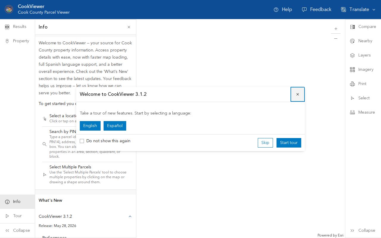
The parcel shapes and selectable lots turn one address into a bounded block study. Clicking a result can reveal the situs address, PIN, property class, land and building assessments, estimated building facts, and school, library, park, or political districts. These fields describe land and public geography. They do not name every person who uses the property.
- Seed parcel
- The confirmed lot used as the center of a block search.
- Situs address
- The street address assigned to the parcel, which may differ from the tax mailing address.
- PIN
- Cook County's 14-digit parcel identifier and the best bridge between map, tax, and recording systems.
- Assessment
- A tax value field, not a sale price or proof of a resident's identity.
Rolling Meadows Civic Layers
Road, zoning, municipal, political, school, library, and park layers add civic context around Rolling Meadows blocks. Some map layers appear only at a close zoom. Turn them on one at a time and note the map date. A school or precinct boundary can cross a street, so two nearby homes may not share every district even when their postal addresses look alike.
The Cook County Your Voter Information tool offers registration, ballot, polling-place, early-voting, elected-official, and status modules. Its captured address interface shows why the voter tool should be used for civic geography, not as a list of the block's voters.
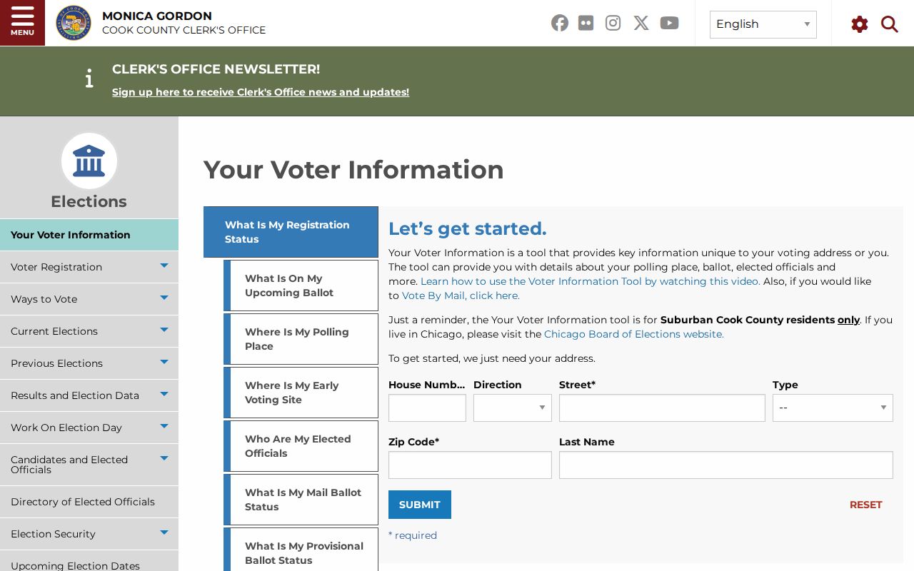
Illinois election rules restrict public voter data, and the official address lookup does not publish a household roster. Use it to verify the precinct and ballot context attached to an address. Do not infer who lives there from the map module.
Creekside and Rolling Meadows Neighbors
Subdivision names can be better historical search terms than a broad ZIP. City planning materials identify Creekside, Tall Oaks, and Dawngate, while the Creekside Association describes 109 homes developed from 1968 through 1972, with cul-de-sacs and a neighborhood park. The captured association site supplies public development context.
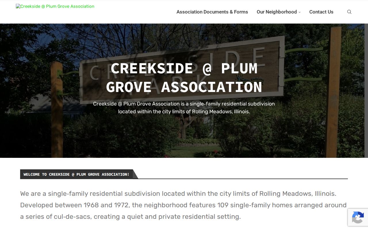
The association did not provide a verified public member directory. Its history can date a block and suggest terms for plats, newspapers, or city planning files, but an address must not be treated as proof of membership. The same restraint applies to chambers, congregations, clubs, and civic groups. Public officers or participants may appear in meeting records, while private rosters remain private.
Creekside
Use the public development history and rules as block context, not as a resident list.
City planning
Check Tall Oaks, Dawngate, Creekside, and named subareas in dated plans.
Local library
Ask about reverse directories, local clippings, maps, newspapers, and licensed databases.
Official Records and Neighbor Tools
Official records are narrower than commercial neighbor tools, but their limits are visible. A county parcel entry identifies its jurisdiction, date, PIN, and property role. A city file identifies its department and record type. Commercial compilations may merge old addresses, phones, and names from several sources without showing when each fact was current. That makes a polished profile less useful than a dated official row for careful block research.
Official public sources
Best for parcel boundaries, assessed facts, recorded parties, permits, and civic districts. Confirm each item with its custodian.
Commercial compilations
May be broad, delayed, or merged across people with similar names. Treat them only as unverified leads.
For reconnecting with someone, use consent-based community channels when possible. A public record is not permission to publish private contact details or monitor a person.
Rolling Meadows Address Files
City records can answer a narrow question the county map cannot. Community Development works with project addresses and PINs for permits, inspections, licenses, and zoning. If an existing file is not exposed online, send a focused request to the Rolling Meadows City Clerk under the Illinois Freedom of Information Act. Written requests may be delivered, mailed, faxed, or emailed. The ordinary response period is five business days, with a possible five-business-day extension.
Ask for an existing permit, inspection, meeting record, or report by exact address, PIN, date range, and responsible department. Public bodies need not create a new roster, and lawful exemptions still apply. That distinction keeps the request useful: seek the city file tied to the block, not a newly compiled list of people.
Rolling Meadows Privacy Limits
Parcel, permit, voter, and directory records leave large gaps by design. Renters, children, visitors, and household members are not reliably indexed. Utility, delivery, motor-vehicle, full birth-date, and private contact records are not public block data. Sealed, juvenile, victim, and other protected records stay outside a lawful neighbor lookup. The Illinois Attorney General's Address Confidentiality Program supplies a substitute address to qualifying survivors of domestic violence, sexual assault, human trafficking, and stalking. It helps with new public records but cannot erase every old property or historical entry.
Stop when a protected address or safety concern appears. Keep only the public source, date, jurisdiction, and role needed for ordinary civic curiosity, family history, reconnecting, or understanding Rolling Meadows neighbors on the block.
Lawful use. Research Rolling Meadows neighbors with respect. Never use a parcel map or public file to watch, intimidate, stalk, harass, or harm anyone.