
Walk a Rolling Meadows Street
A sound street directory search keeps ownership, civic geography, and occupancy evidence separate. Cook County property tools identify parcels and public tax facts. The Clerk's recording system identifies parties to recorded instruments. Rolling Meadows permit files may name an owner, agent, contractor, or project. A dated telephone or criss-cross directory can associate a listed subscriber with an address, but only for that edition. Start with the full street number and unit, then preserve the date and role attached to every name.
- Verify the postal address and unit, then search the Cook County Assessor by house number, direction, street, city, and unit.
- Open CookViewer, choose the intended parcel from nearby results, and copy its 14-digit Property Index Number, or PIN.
- Use map click, rectangle, or polygon selection to inspect nearby parcels. Exported rows remain parcel data, not a list of residents.
- Carry each PIN into the Clerk's Recordings System, then follow grantor, grantee, document type, and recording date.
- Check city permit files and dated reverse directories only when the research question needs a municipal or historical layer.
The voter tools belong later in the chain. Illinois registration lookup uses a person's name, birth date, ZIP, and then street details. Cook County's address tool supplies registration, ballot, polling place, early-voting, and elected-official modules. Neither tool publishes everyone on a street. A valid street-by-street result therefore labels the assessor record as parcel evidence, a deed party as a recorded role, and a directory entry as a dated listing.
Rolling Meadows Address Search Fields
The Cook County Assessor Address Search is a precise first check when a street string is known. Its visible form does not offer an owner-name search. Enter the physical address or PIN instead, and do not add a street suffix where the form says to omit one.
| Search mode | Fields | Key limit |
|---|---|---|
| Address | House number, direction, unit, street name, city, CAPTCHA | Street name excludes Ave, St, and Pl suffixes |
| PIN | 14-digit PIN, CAPTCHA | Use the parcel identifier, not a street number |
| Area | Township, neighborhood, property class, CAPTCHA | Useful for context, not an occupant search |
A returned parcel can confirm classification, assessed values, building and land attributes, and links to related property systems. It may not show any resident name. Call the Assessor at 312-443-7550 or use its office at 118 N. Clark Street, Room 320, Chicago when the public form cannot resolve an address.
Map Rolling Meadows Parcels
CookViewer's parcel field layer shows why a map result needs careful reading.
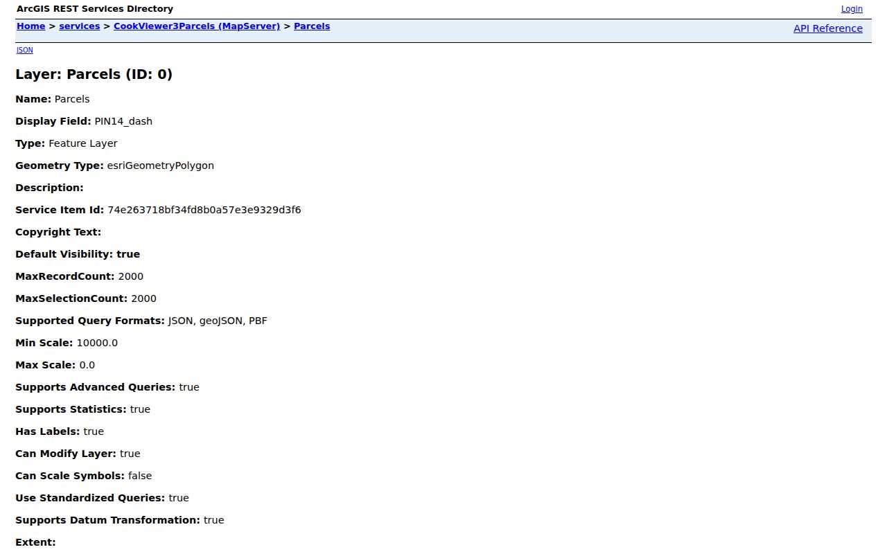
The layer links the PIN, address, municipality, township, assessment, building, and district fields behind the street map. CookViewer may return several properties within about 100 feet. Select the exact parcel, confirm its address and PIN, then use the viewer's map tools. Historic parcel layers cover 2000 to the present, while imagery reaches roughly 1998. Roads, political boundaries, tax districts, zoning, and public facilities add context at suitable zoom levels.
CSV and Excel export can capture a selected block. PDF reports can include a map title and all search results. Those tools make a Rolling Meadows street directory project repeatable, but they do not turn public land facts into household facts. Save the selection date and field names so later changes in assessment or parcel geometry remain clear.
Rolling Meadows, Palatine Township
A Rolling Meadows mailing address commonly appears under Palatine Township in Cook County tax data. That does not place the parcel in the Village of Palatine. Postal city, incorporated municipality, township, and tax district are different fields. CookViewer examples at 1 Applejack Road and 2815 Kirchoff Road show Rolling Meadows as the municipality while Palatine appears as the township.
Compare the municipality field with the Rolling Meadows GIS and Community Portal when an address sits near a boundary. City GIS adds zoning, precinct, poll location, schools, and city services. USPS remains the authority for the 60008 mailing string. This geography check prevents a street directory from discarding a correct county record merely because its township label looks unfamiliar.
Rolling Meadows Records by Street
Each custodian answers a different address question. The strongest Rolling Meadows street directory keeps the keeper, access channel, and legal boundary beside every result. Online tools are convenient, but telephone, email, mail, counter, and library routes matter when an image or old volume is missing.
| Record Set | Keeper | What It Shows | Access |
|---|---|---|---|
| Assessment and tax | Cook County Assessor and tax portal | PIN, situs, mailing, class, value, tax history | Free portals; phone and Chicago counter |
| GIS parcel map | Cook County GIS | Parcel geometry, address, districts, historic layers | Free viewer, export, and GIS email |
| Deeds and liens | Cook County Clerk Recordings | Indexed parties, instruments, dates, legal descriptions | Free index; copy purchase or Room 120 |
| Civic address | Cook County Clerk Elections | Registration status, ballot, polling, officials | Individual official lookup; no street roster |
| Permits and inspections | Rolling Meadows Community Development | Public project, owner or agent, contractor, PIN, valuation | Customer Self Service or specific FOIA request |
| Dated directories | Rolling Meadows Library and other libraries | Published name, address, phone or exchange for one edition | Catalog, reference desk, licensed database, or shelf |
The PIN links the parcel, tax, deed, and permit layers more reliably than a name. A street spelling links modern tools to a printed directory only after the directory year and locality label are preserved. For a full treatment of the older volumes, use the Rolling Meadows directory book material rather than treating the latest parcel export as historical proof.
Trace Rolling Meadows Street Deeds
The Clerk's Recordings System searches by address or PIN, grantor, grantee, document number, and other indexed details. A grantor gives an interest; a grantee receives it. Begin with the verified PIN, record each result's document number, type, parties, and date, then use Advanced Search to narrow a name by grantor or grantee, document type, and date range.
- Parcel
- A legally described piece of land tracked by a PIN.
- Situs address
- The parcel's physical address, which can differ from a tax-bill mailing address.
- Plat
- A recorded map of lots, blocks, easements, or subdivision lines.
- Criss-cross directory
- A dated directory arranged by street and house number rather than only by surname.
The index reaches to 1871 and was checked through August 6, 2026, but that cutoff moves. Not every image or document class can be bought online. For a missing plat, easement, condominium declaration, or other restricted purchase class, contact Clerk Recordings at 312-603-5050 or clerk.recordings@cookcountyclerkil.gov, or visit Room 120 at 118 N. Clark Street. Confirm the current copy fee before ordering.
An early search may end at microfilm rather than a web image. Cook County describes older books and 1871 to 1984 microfilm, followed by the 1985-present digital recording era. The 1871 Chicago fire also explains gaps and reconstructed material. Ask the Clerk about an alternate book or microfilm series, and use Cook County IRAD at Northeastern Illinois University for older county holdings. IRAD accepts phone and mail research requests, generally limits a request to two names, and may charge for copies even though it does not charge a research fee.
Rolling Meadows Permits by Address
Community Development's address records connect a place to city permit, inspection, business-license, contractor-license, and zoning workflows.
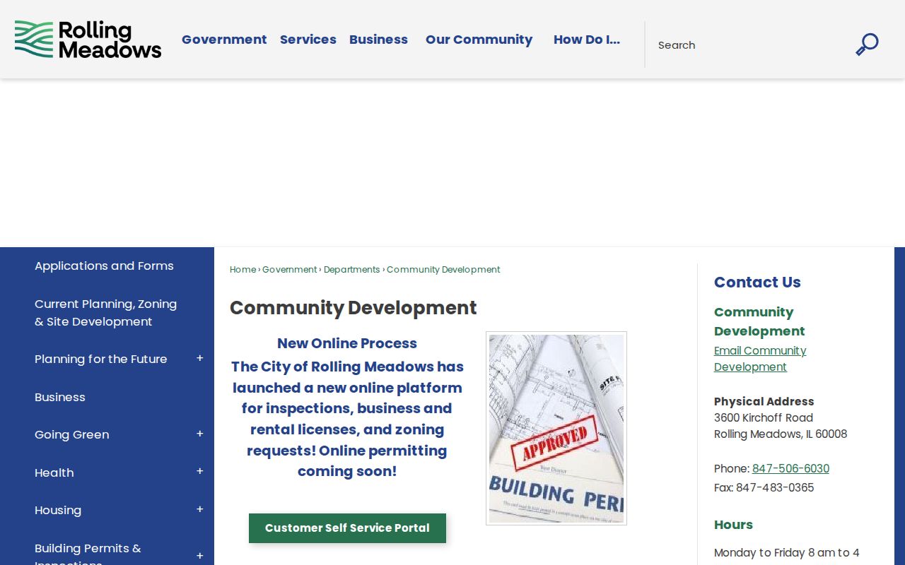
The portal supports address search, applications, invoice payments, progress tracking, document uploads, and printing, although an account may be needed for transactions. Building material can use project address, PIN, owner or agent signature, contractor, and valuation. These are project roles, not proof of who occupied the property.
If an older public file is not visible, send a narrow Illinois FOIA request to the City Clerk. Identify the address, PIN, department, record type, and date range. Requests may go online, by email, fax, mail, or in person. Rolling Meadows states a five-working-day response period, with more time possible by notice. The first 50 black-and-white pages are free, later pages cost $0.15 each, and certified copies cost $1 per page.
Rolling Meadows Streets and Ballots
The Cook County Your Voter Information tool uses an address to return civic facts such as registration status modules, ballot information, polling place, early-voting locations, and elected officials. Street direction, type, and ZIP must match the county form. This makes the tool useful when a Rolling Meadows street crosses a precinct or district boundary, but it is not a public list of everyone registered along that street.
The Illinois statewide registration lookup follows a different path. It asks for first name, last name, birth date, and a five-digit ZIP before requesting street number and street name. Illinois election law limits access to voter-file data, and protected or time-sensitive records may not appear. Use either official tool to confirm one person's own registration or understand the civic geography of an address. Do not turn an empty result into a claim that nobody lives or votes there.
Older Rolling Meadows Street Listings
The 1955 Chicago Suburban telephone directory at the Library of Congress preserves Rolling Meadows locality entries with names, streets, communities, telephone exchanges, and numbers. Exchanges such as WInfld and CLearbrk are time markers, not current address parts. Search the scanned pages as well as OCR, which can misread a name or abbreviated street.
Later Haines and criss-cross volumes make the address the key. Rolling Meadows Library offers local clippings, directories, maps, HeritageHub, HeritageQuest, Illinois Public Records, and in-library Ancestry Library Edition under their own access rules. The local collection is not archival and older editions may be withdrawn. Call the reference desk at 847-259-6050, search the catalog, or ask nearby Arlington Heights Memorial Library about its Haines and house-history resources when a year is absent.
County records also predate the city. The 1871 Chicago fire damaged early Cook County records, and older deeds can require books, microfilm, or IRAD. Printed evidence starts near the city's postwar growth, while CookViewer's historic parcel archive begins around 2000. Deeds, permits, newspapers, plats, and dated directories bridge that gap.
Preserve the old address exactly as printed. No verified source documented a citywide Rolling Meadows street-renumbering year, so one must not be invented. When a street name fails in the recording index, use the deed's subdivision, block, lot, section, township, and range fields. Newspaper development names can also help. Creekside dates its 109-home subdivision to 1968 through 1972, while city plans name Tall Oaks, Dawngate, and other subareas. These labels narrow a dated map or directory search without claiming a private association roster.
Limits of Rolling Meadows Street Records
No official citywide roster, HOA member roll, utility customer list, or block-watch register was found. A deed names parties to an instrument, not everyone at an address. An assessor card describes a parcel. A permit may name project roles. Voter access is restricted, and an address lookup is not permission to compile a public street list. Driver address data, personal contact details, protected voters, sealed files, and private FOIA information remain outside a lawful street directory.
Illinois's Address Confidentiality Program gives qualifying survivors a substitute address for new public records. It cannot erase every older property or historical record. If a result may expose a protected person, stop the public-facing search and contact the Attorney General program at 1-844-916-0295 rather than trying to reconstruct an address.
Lawful use. Use Rolling Meadows address records for lawful personal research. Never use a street directory to stalk, harass, threaten, or expose a protected person.
For corrections, contact the office that keeps the source record. The Assessor handles assessment fields, GIS handles map attributes, Clerk Recordings handles indexed instruments and copies, and the Rolling Meadows City Clerk handles municipal FOIA. That custody trail is more reliable than trying to merge unlike records into a single claim about current residents.